The most important update regarding this week is the presentation we gave our clients on our proposal for the project.
The proposal included the details about our prototype idea:
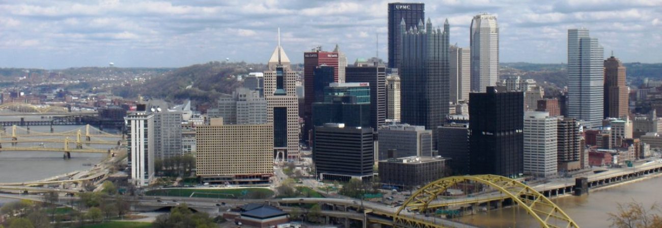
This prototype would be a look at what future urban planning tools could be like once detailed building information is included in GIS data. We would look at a section of the Baum Corridor and allow the user to make changes to road and sidewalk designs. We are starting with the intersection of Centre and Graham and working our way east towards Whole Foods. We would provide detailed building models of current Baum Corridor buildings and universal, but highly detailed, buildings to be placed in the scene when zoning changes are made. These universal buildings would be height adjustable, and react to zoning rules (building height limits, distance from the property line).
To make this simulation feel like a real place, we will include people and cars moving about the area in a realistic manner. The number of cars and people would change with the configuration of the area. For instance if the user placed multiple stores in an area, then the number of people would be higher than if the user rezoned the area to be residential. If the area had restaurants then the number of people in the area would be higher at night than if the area only included office buildings.
All of our work creating this prototype will be documented so that it can be added to and modified by later groups.
Immersiveness- Highly immersive
Art Style- Photo Realistic
Tool Kit- Detailed models of building and street options that can be placed in the scene.
Environment Changes- have scene react to changes made by the user, and respond to the presence of the user within the scene.
Data- GIS data would be used to generate surrounding buildings. At the time, tools do not exist to do this automatically within VR and has to be done manually in the Unity editor.
Roads Lane Options:
- Two lanes
- Four lanes
- No on street parking
- One way street
- Bike lanes
Sidewalk Options:
- Adjust the width
- Add elements like trees, benches, plants
- How much space you have to work with would depend on road lane configurations
- Placement of streetlights and how much light they produce at night.
Zoning Options:
- Height adjustments can be made to universal buildings. Universal buildings would be modeled in a way that floors can be repeated and then topped off with a roof. Due to the complex geometry of the realistic building models of Baum Corridor, we can’t make changes to their height.
- Buildings would respond correctly to high level zoning rules; a warning would appear if a building was placed incorrectly.
Weather/Atmospheric Options:
- Changes made within the tool would have realistic shadow effects.
- The area can be viewed at four different times of day: morning, noon, afternoon and night.
- Weather conditions would include sun, rain and snow. These weather effects wouldn’t simulate rain or snow accumulation, but would create the feel of the place during different weather conditions.
Here is the link to our presentation slides with some information on the slides.
https://drive.google.com/open?id=0B7RtxeHKrIZPRnJsVGRMMFFEWXc
The feedback we got from our clients:
The clients are happy with the direction we are planning to go in and they had a request about an additional feature on zoning, which we decided to implement.